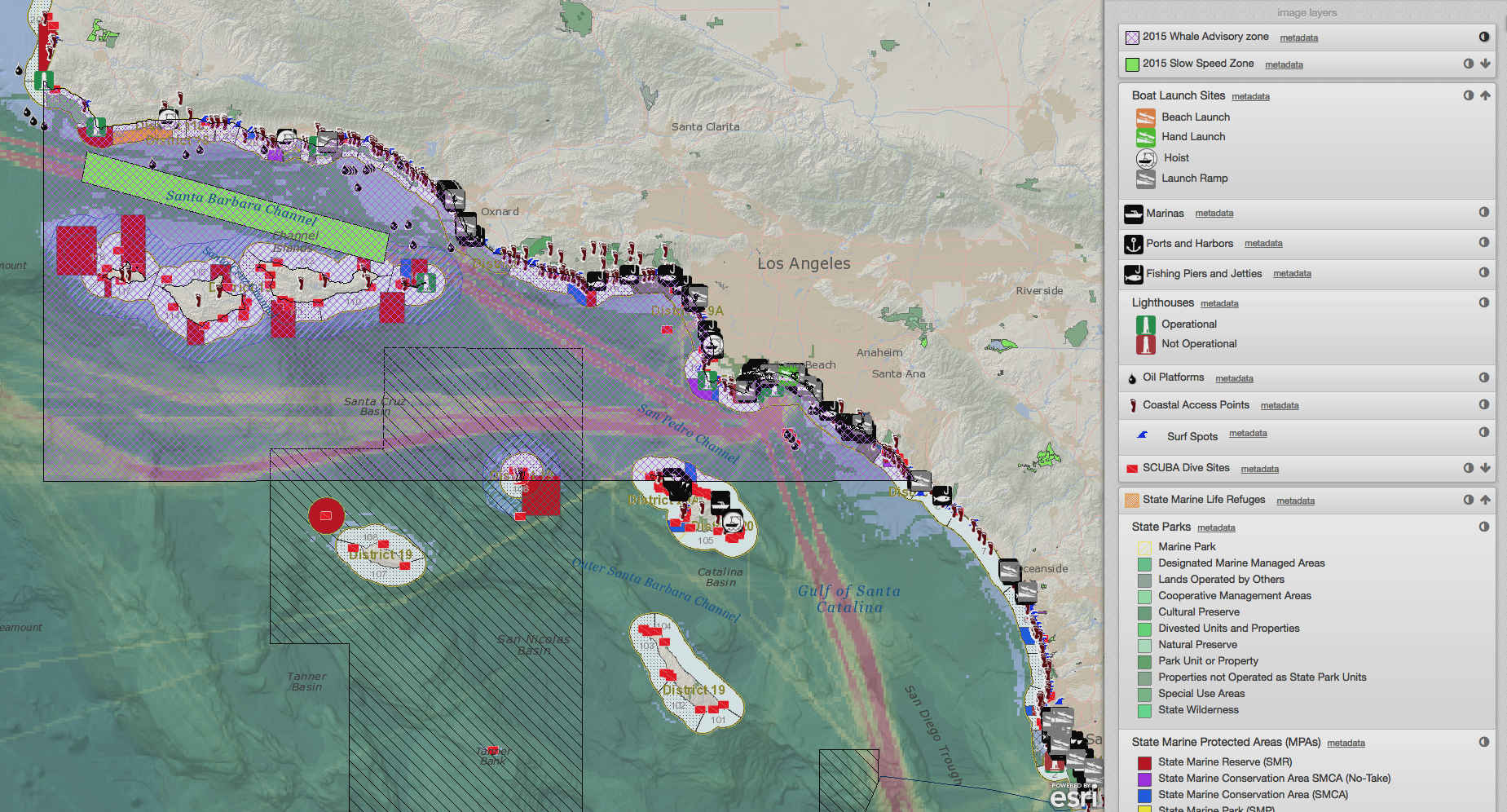
SeaSketch Used to Create Draft Sanctuaries in Barbuda
/On August 16, 2013, the Barbuda Council used SeaSketch to visualize and analyze geospatial information about the distribution of resources and human activities in and around the 3 nm boundary of Barbuda waters.
Read More

