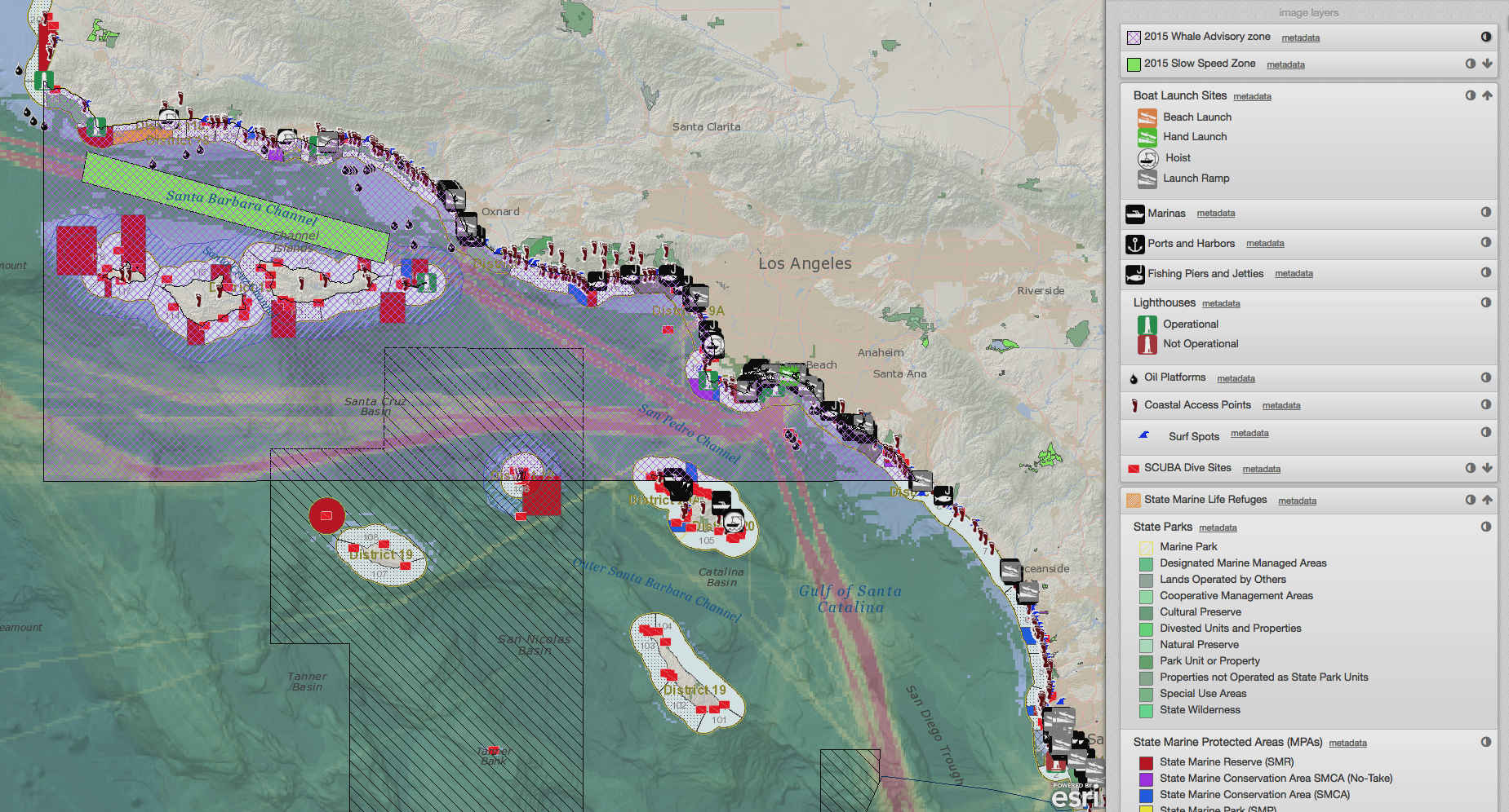
Using SeaSketch in Data Poor Environments
/Everybody wants to have the best possible information when undertaking a planning project. But what happens when you are working in an environment where data is poor or perhaps non-existent? SeaSketch can be used to collect, validate and evaluate new geospatial information for planning purposes. SeaSketch has no minimum data requirements. That is, you can use SeaSketch with limited or no data to simply design plans, share them with others and discuss their relative merits. Of course, if you are to understand some of the important consequences of any given plan - say, the conservation benefits or the economic costs - then you will need some spatial data that can be used to analyze plans.
Read More

