SeaSketch to be Announced at Esri International User Conference
/The first version of SeaSketch, a software as a Service, will be announced on July 23, 2012.
Collaborative GeoDesign of Shipping Lanes
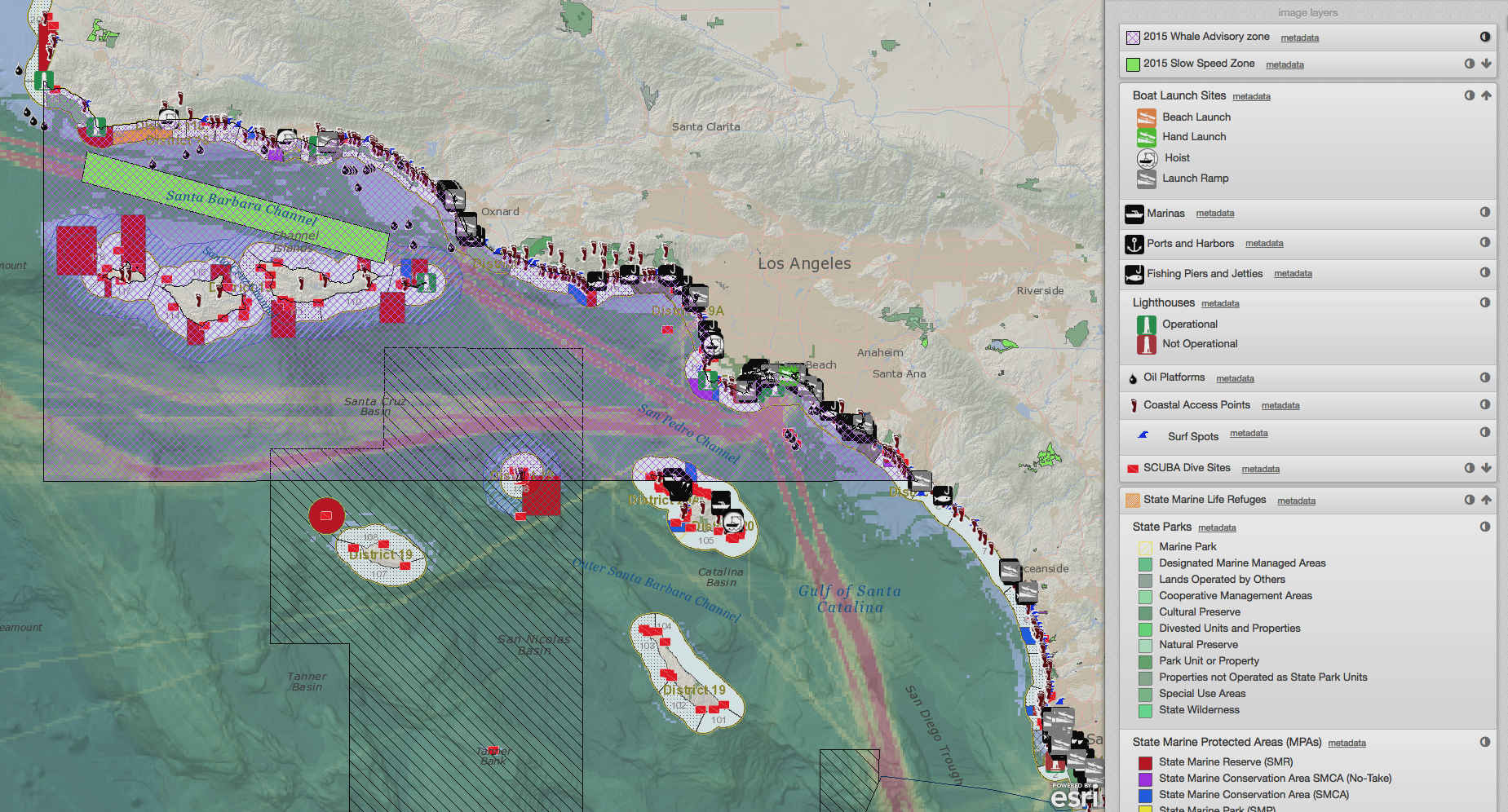
As part of the plenary session at the 2012 Esri International User Conference in San Diego, California, Will McClintock and Chad Burt will unveil SeaSketch. The first version will be implemented for use nationwide by New Zealand's Department of Conservation in September, 2012. Using a sample project in collaboration with the Channel Islands National Marine Sanctuary, McClintock and Burt will present a live demonstration of how SeaSketch can be used to redesign shipping lanes in the Santa Barbara Channel to reduce blue whale strikes and minimize costs to shipping industries.
SeaSketch is "Software as a Service" (SaaS) that may be used to rapidly develop new projects for any kind of collaborative spatial planning. SeaSketch implements a "geodesign" approach to spatial planning, allowing anyone with a common web browser to sketch prospective management plans and receive real-time analytical feedback on the consequences of designs.
Update: a video of the presentation may be viewed here.
Screenshot of a demonstration SeaSketch project (demo.seasketch.org).


