SeaSketch and ArcGIS Online for Organizations
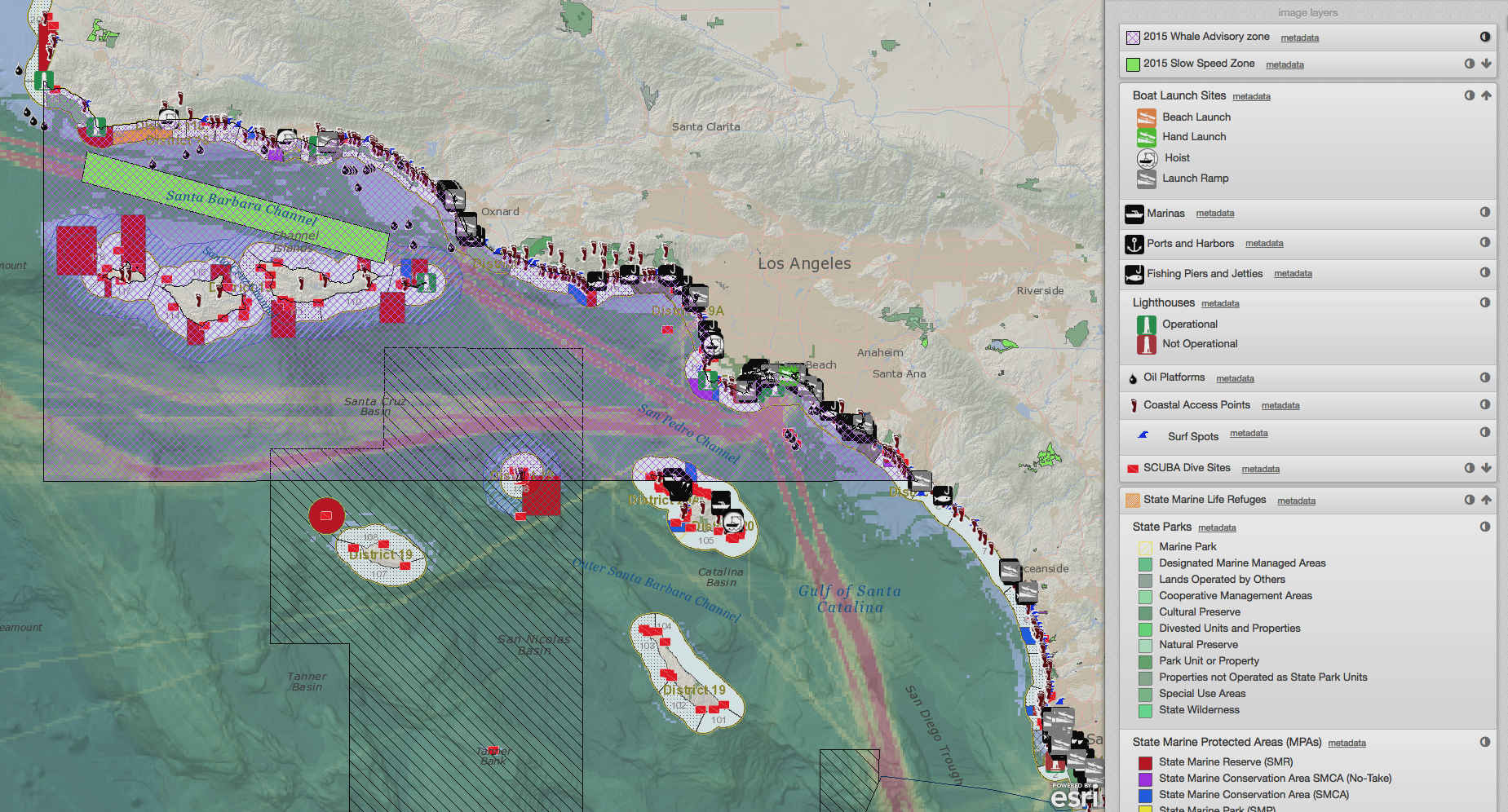
/SeaSketch is a web-based platform for the collaborative design of marine spatial plans, including the collection and discussion of map data. The application itself is a software Service (aka, “software as a service” or SaaS) hosted on a single website: www.seasketch.org. Each project within SeaSketch may display map data that are hosted on servers and websites distributed around the world.
Read More


