Designing the Ocean's Future

An article in the August, 2012, edition of ArcWatch describes how SeaSketch may be used for collaborative geodesign. 

Geospatial technology is now being used to analyze data and weigh various options on how to best manage ocean resources. Quick feedback on designs using geospatial technology is called geodesign, and it's used in many diverse fields, including marine planning. SeaSketch, a new online application developed at the Marine Science Institute and supported by Esri, will give marine spatial planners and ocean resources managers the tools to make decisions related to fisheries, energy development, shipping lanes, and protected marine areas.SeaSketch was developed using Esri's ArcGIS, including ArcGIS Online, which is a cloud-based collaborative content system for maps, applications, data, and other geospatial information. Read the article.

/Source

Will McClintock

Dr. Will McClintock is a Project Scientist at the University of California Santa Barbara and former Director of the MarineMap Consortium. He received a B.A. in Biology from Earlham College, M.S. in Behavioral Ecology from the University of Cincinnati, an M.A. in Counseling Psychology from Pacifica Graduate Institute and a Ph.D. in Ecology, Evolution and Marine Biology from the University of California Santa Barbara. He has participated in over a dozen marine spatial planning initiatives around the world.

SeaSketch to be Announced at Esri International User Conference

SeaSketch to be Announced at Esri International User Conference

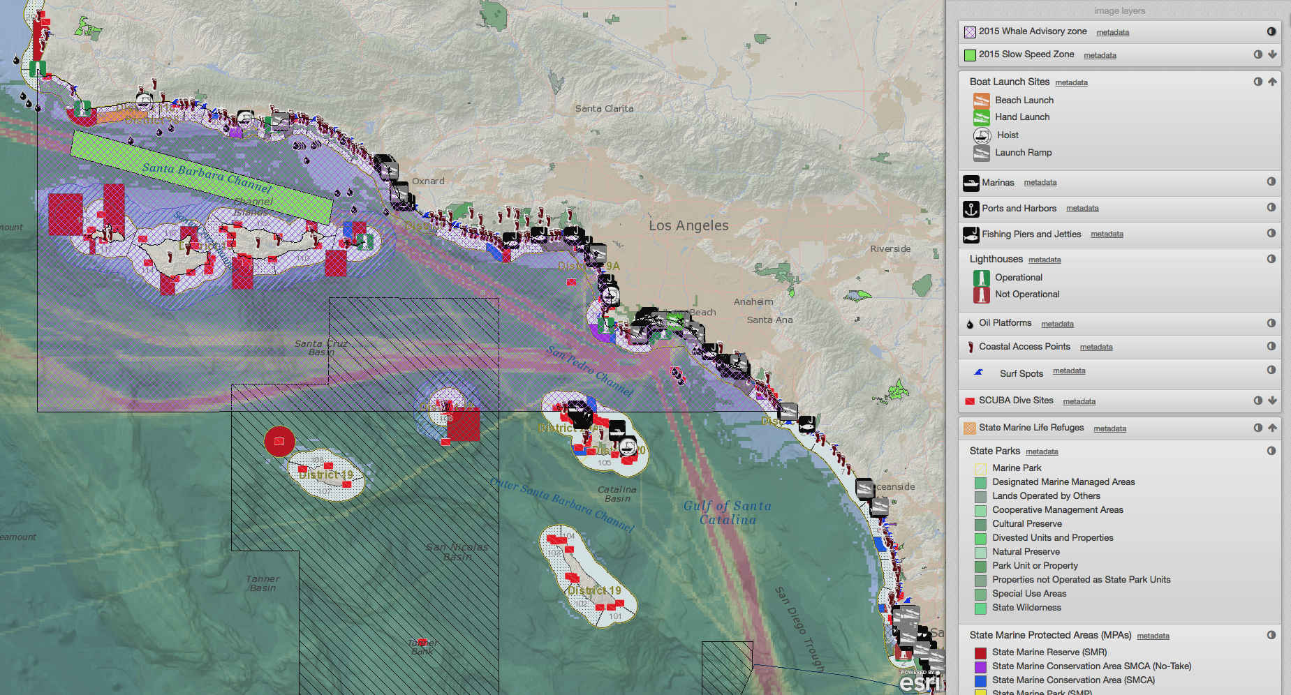
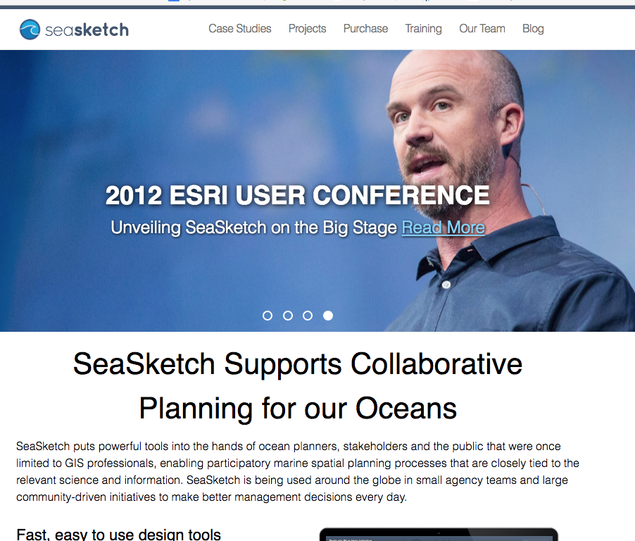
As part of the plenary session at the 2012 Esri International User Conference in San Diego, California, Will McClintock and Chad Burt will unveil SeaSketch. The first version will be implemented for use nationwide by New Zealand's Department of Conservation in September, 2012. Using a sample project in collaboration with the Channel Islands National Marine Sanctuary, McClintock and Burt will present a live demonstration of how SeaSketch can be used to redesign shipping lanes in the Santa Barbara Channel to reduce blue whale strikes and minimize costs to shipping industries.

Read More