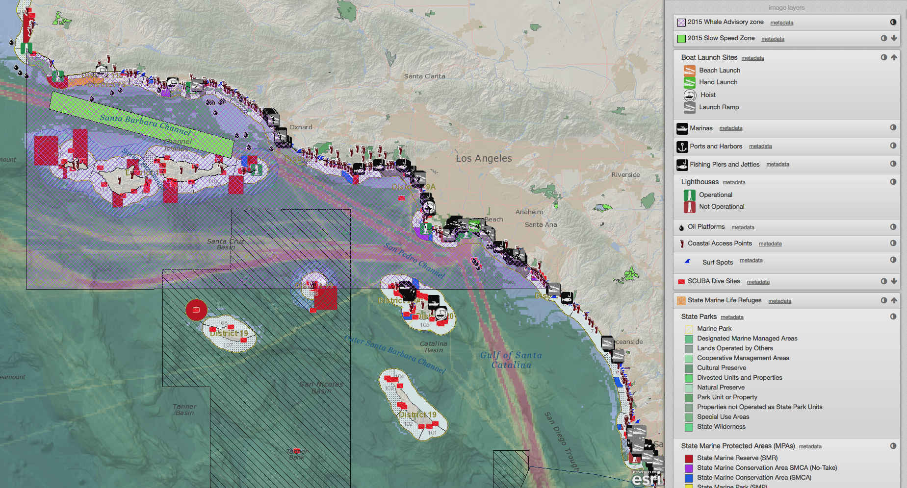
GeoDesign: Optimizing stakeholder-driven marine spatial planning.

This fall, The Coast Guard Proceedings will include an article by Will McClintock that describes how one can use SeaSketch to maximize stakeholder involvement in MSP using SeaSketch.

To download a pre-print of that article, click here. Check back soon for a link to the Proceedings web site and the full Fall 2013 issue with a special focus on coastal and marine spatial planning (CMSP).

Will McClintock

Dr. Will McClintock is a Project Scientist at the University of California Santa Barbara and former Director of the MarineMap Consortium. He received a B.A. in Biology from Earlham College, M.S. in Behavioral Ecology from the University of Cincinnati, an M.A. in Counseling Psychology from Pacifica Graduate Institute and a Ph.D. in Ecology, Evolution and Marine Biology from the University of California Santa Barbara. He has participated in over a dozen marine spatial planning initiatives around the world.

Citizen Science Profile - SeaSketch

Zachary Bastian is an Early Career Scholar with the Commons Lab and the Science & Technology Innovation Program at the Wilson Center, a member of the New York State Bar Association and a graduate of George Washington University Law School. As part of the Commons Lab’s ongoing initiative to highlight the intersection of emerging technologies and citizen science, Zack presents a profile of SeaSketch. Read Zack's article here.

Will McClintock

Dr. Will McClintock is a Project Scientist at the University of California Santa Barbara and former Director of the MarineMap Consortium. He received a B.A. in Biology from Earlham College, M.S. in Behavioral Ecology from the University of Cincinnati, an M.A. in Counseling Psychology from Pacifica Graduate Institute and a Ph.D. in Ecology, Evolution and Marine Biology from the University of California Santa Barbara. He has participated in over a dozen marine spatial planning initiatives around the world.

Marine Planning Partnership of the North Pacific Coast

Marine Planning Partnership of the North Pacific Coast

The Marine Planning Partnership for the North Pacific Coast (MaPP) is a collaborative planning process for coastal and marine areas in four sub-regions of B.C.(Haida Gwaii, North Coast, Central Coast and North Vancouver Island). MaPP is a partnership between the Province of British Columbia and 20 member First Nations (as represented by the Coastal First Nations-Great Bear Initiative, the North Coast-Skeena First Nations Stewardship Society and the Nanwakolas Council). SeaSketch is assisting MaPP by enabling on-line access to MaPPs' extensive spatial data library and by creating analytical tools to support MaPPs' work.

Read More

Using SeaSketch in Data Poor Environments

Using SeaSketch in Data Poor Environments

Everybody wants to have the best possible information when undertaking a planning project. But what happens when you are working in an environment where data is poor or perhaps non-existent? SeaSketch can be used to collect, validate and evaluate new geospatial information for planning purposes. SeaSketch has no minimum data requirements. That is, you can use SeaSketch with limited or no data to simply design plans, share them with others and discuss their relative merits. Of course, if you are to understand some of the important consequences of any given plan - say, the conservation benefits or the economic costs - then you will need some spatial data that can be used to analyze plans.

Read More